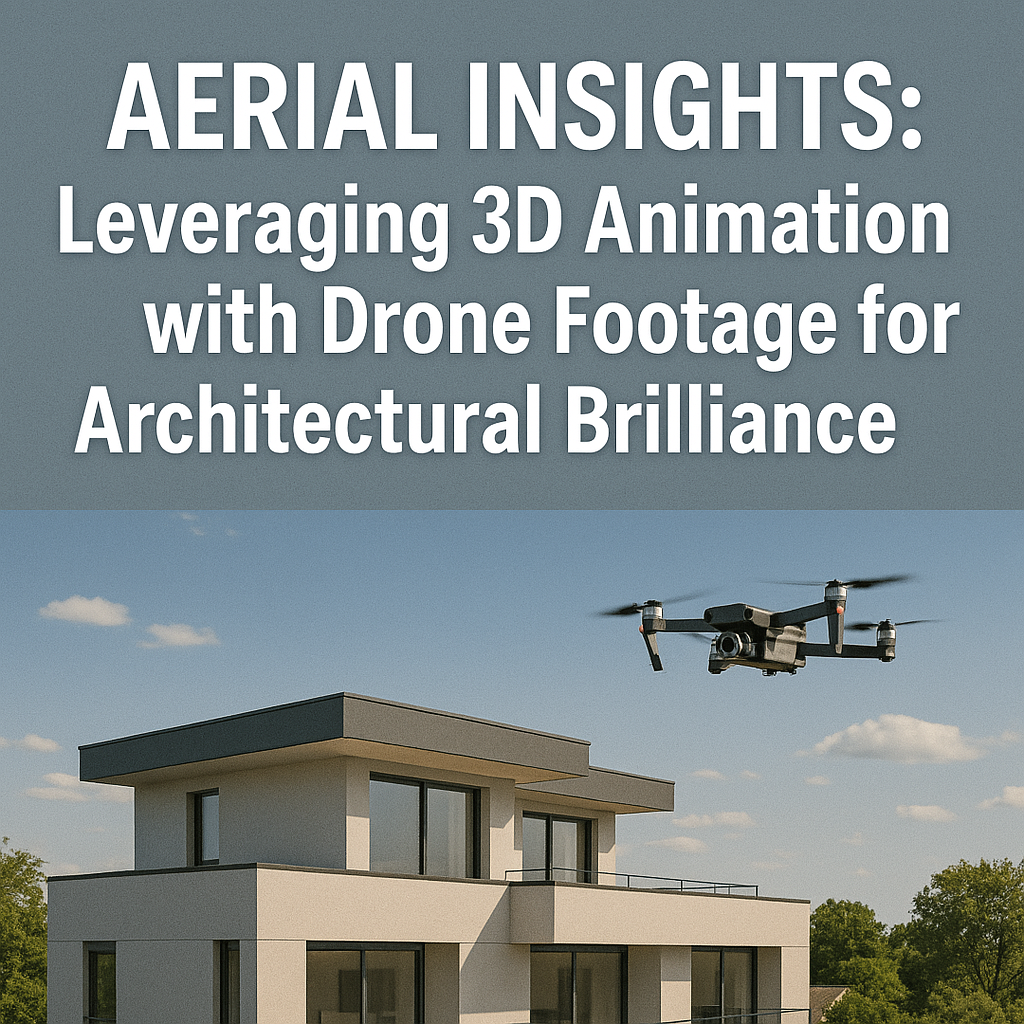
The field of architectural visualization has come a long way in recent years, driven by technology and various approaches. Perhaps one of the greatest developments in the field in recent years is the introduction of 3D animation for architecture and aerial architectural rendering from drone shots. Together, this offers an enormous sense of potential in how architects, real estate developers, and city planners conceptualize, articulate, and eventually realize their projects. In the past, conventional architectural visualizations were solely dependent on static 2D drawings, sketches, and renderings that just did not allow for the immersive nature required to really convey the project vision. Yet, with the use of aerial 3D rendering, we can now depict realistic real-world perspectives, combined with highly detailed animations in all three dimensions. The combination of real and digital ambiance improves the dynamic quality of storytelling, accompanying presentations, and thoughtful decision-making.
Think about the idea of flying around the city capturing stunning aerial video that runs seamlessly from real aerial footage to a fully animated 3D view of a proposed building and how it engages with its surrounding environment to enhance the message. This type of response automatically transforms every key stakeholder’s experience and enjoyment to a new level of realism and spatial relationship and demonstrates the opportunities regarding the proposed development. This not only improves the visual conveyance of the project, but enhances the overall communication of the project narrative, better planning, and improved marketing.
The combined power of aerial architectural rendering and 3D animation for architecture unleashes new realms in the architectural narrative. As a step beyond the mere display of structures individually, this method plunges audiences into an immersive understanding of whole urban ecosystems so that they may walk through and navigate through relationships between buildings, landscapes, and infrastructure. Through aerial 3D rendering, architects are able to illustrate how natural elements like sunlight, airflow, and greenery engage with their creations, allowing for a better comprehension of project viability and sustainability.
From skyscraper commercial developments to large-scale residential estates, the integration of drone imagery and animation assists in providing precise visual roadmaps for developers, investors, and architects. Through the use of sophisticated rendering methods, city planners can present large-scale developments from various angles—offering transparency in stakeholder meetings, gaining approvals quicker, and improving public participation.
In this ultimate guide, we will delve into the deep significance of aerial architectural rendering and 3D architecture animation, citing how this synergistic blend optimizes visualization, enhances site analysis, revolutionizes presentations, and facilitates streamlined communication. With comprehensive insights into its uses, advantages, and coming trends, this guide is an indispensable roadmap for professionals who desire to tap into the full strength of this cutting-edge technology.
The Power of Aerial 3D Rendering in Architecture
Enhanced Visualization
Visualization plays a critical role in architectural planning and development. Aerial architectural rendering elevates visualization by offering real-world site perspectives, seamlessly integrated with 3D animation for architecture to produce immersive experiences. By combining drone footage with CGI, architects can present:
- Aerial perspectives of project sites
- Real-world environmental contexts
- High-resolution visual simulations of proposed structures
With aerial 3D rendering, stakeholders are able to understand how a project relates to its environment, leading to more informed design choices and minimizing the potential for expensive changes down the line.
Improved Site Analysis
Drones offer an unmatched ability to analyze project sites through high-resolution aerial footage. This data aids architects in assessing:
- Topographical variations
- Sunlight exposure patterns
- Infrastructure compatibility
- Existing natural or built features
By incorporating drone video into 3D architecture animation, experts can produce high-fidelity simulations that show how buildings engage with their surroundings. This integration allows:
- Better spatial planning
- Efficient sustainability assessments
- Identification of potential design conflicts before construction begins
For instance, an architect planning a residential complex can utilize aerial 3D rendering to determine how sunlight engages with the buildings during the day, maximizing positioning for natural light.
Engaging Presentations for Clients and Stakeholders
Presentations play a vital role in architecture, whether it is client approvals, investor pitches, or public outreach meetings. 3D animation architecture, when combined with drone video, upgrades conventional presentations to experiences.
Picture a project proposal beginning with sweeping drone shots of a vacant lot, then slowly moving to aerial architectural visualization that brings the finished project into breathtaking detail. This storytelling approach enables stakeholders to:
- Clearly understand design concepts
- Visualize the scale and scope of projects
- Experience how structures will integrate into their environments
These presentations are especially useful for urban planning projects, where public consultation is necessary to obtain approvals and funding.
Streamlined Communication and Collaboration
Architectural projects have various stakeholders, such as architects, engineers, city planners, and investors. Miscommunication can result in expensive mistakes and delays. By leveraging 3D animation for architecture alongside aerial 3D rendering, teams can:
- Share realistic design representations
- Foster better collaboration among stakeholders
- Improve decision-making through clear visual communication
For instance, an architect can capture the current condition of a construction site using drone footage, overlay a 3D architectural construction on it, and present a time-lapse of how the project will evolve over time.
Boosting Real Estate Marketing
The real estate sector extensively depends on appealing images to acquire buyers and investors. Aerial architectural rendering and 3D animation for architecture allow real estate professionals to generate dynamic marketing resources like:
- Virtual property tours
- Promotional videos
- Interactive site maps
Through aerial 3D rendering, prospective buyers are able to see a property’s exterior, landscape, and environment from the air prior to stepping foot on the land. This visualization method greatly increases marketing campaigns and speeds up sales.
Applications of Drone Footage and 3D Animation in Architectural Visualization
1. Pre-Construction Planning
Before construction begins, aerial data collected by drones is used to map out detailed project plans. By integrating 3D animation for architecture, professionals can create predictive models, helping developers:
- Assess land use efficiently
- Predict construction challenges
- Visualize infrastructure placement
2. Urban Planning and Development
City planners and municipalities use aerial architectural rendering to assess large-scale urban projects. These visualizations assist in:
- Traffic flow analysis
- Green space planning
- Infrastructure integration
For example, 3D animation for architecture allows planners to simulate how a new highway affects surrounding neighborhoods, ensuring sustainable development.
3. Infrastructure and Public Works
Infrastructure projects require meticulous planning, and aerial 3D rendering helps visualize roads, bridges, and utility layouts with precision. By combining drone footage with 3D animation for architecture, engineers can analyze:
- Environmental impacts
- Structural feasibility
- Community accessibility
4. Renovation and Restoration
For historical buildings and renovation projects, drone footage helps capture current structural conditions. Aerial architectural rendering then overlays proposed renovations, allowing architects to:
- Preserve historical elements
- Integrate modern upgrades
- Communicate restoration plans effectively
5. Sustainable Design and Environmental Assessments
Sustainability is at the core of modern architecture. 3D animation for architecture and drone data provide architects with insights into:
- Solar energy potential
- Wind pattern assessments
- Environmental conservation
For example, by using aerial 3D rendering, a developer planning an eco-friendly resort can visualize solar panel placements and energy-efficient building orientations.
Conclusion
The combination of airborne architectural rendering and 3D animation for architects is a revolutionary change in architectural visualization. Architects, developers, and real estate agents can, through the combination of drone-based technology and CGI of high caliber, improve visualizations, enable better communication, and accelerate the approval of their projects.
Apart from the esthetic value, this mix also adds strength to strategic planning, green considerations, and resource maximization. Having the option to visualize projects within their true locations—before excavating—removes uncertainties and allows informed decisions in advance. City planners, contractors, and developers are now able to harness aerial 3D visualization to design data-rich structures that are aesthetically pleasing and also work.
With advancements in technology, 3D animation for architecture will be a necessary tool to provide future-proof designs that suit urban growth, environmental protection, and economic development. For new cities, commercial buildings, or green homes, combining drone videos with architectural animation guarantees that projects are well-planned, visually appealing, and harmoniously integrated into their environments.
By embracing this groundbreaking method, architects and real estate experts can remain ahead of the curve, creating projects that not only resonate with people but also set the stage for more intelligent, more sustainable cityscapes. The potential is endless, and as technology continues to evolve, aerial architectural rendering will remain a revolutionary force in how we plan, design, and experience the built environment.
Read More: How Interior Designers Can Leverage 3D Rendering